Interactive Digital Railroad Display
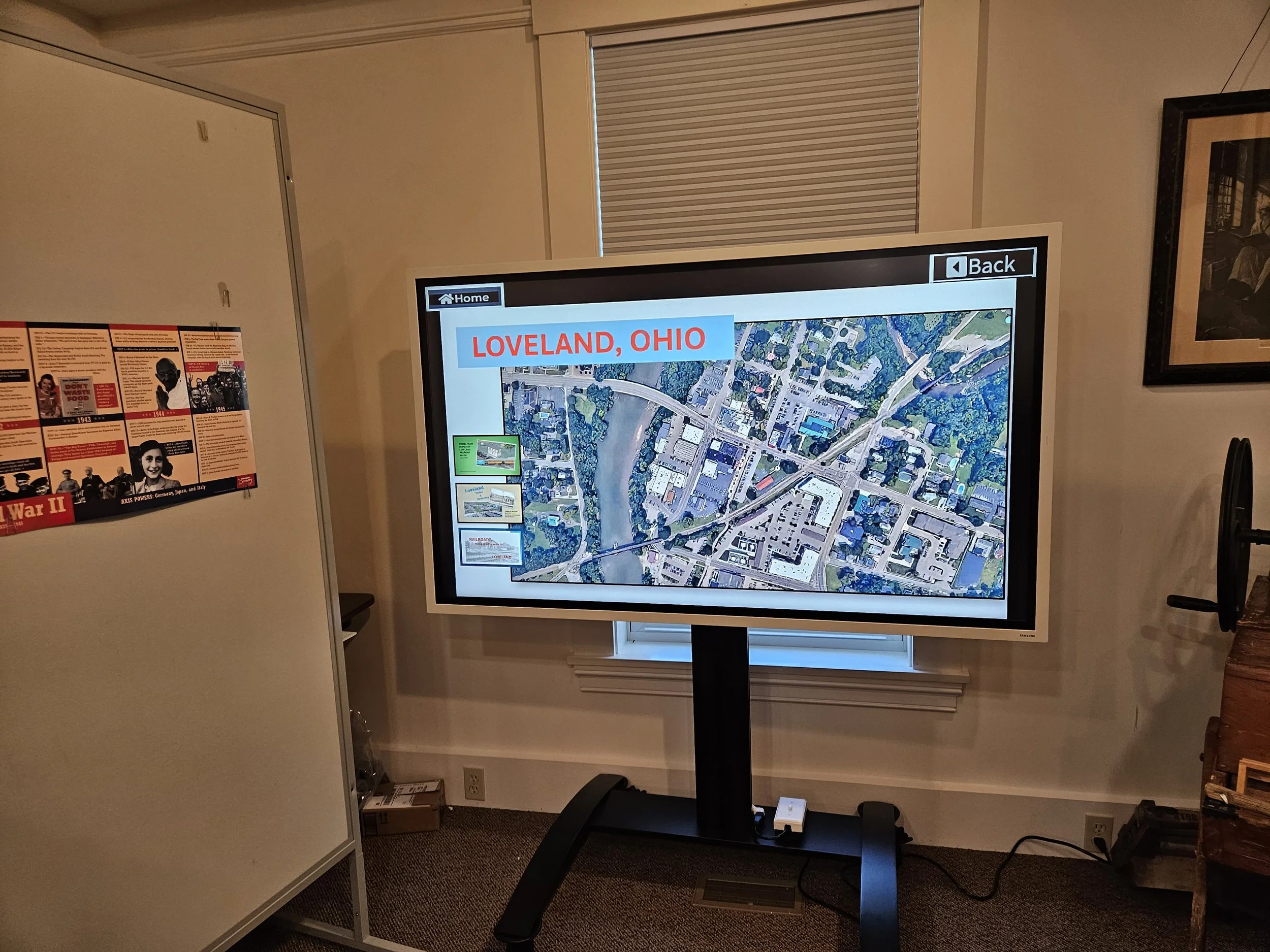
As a result of much hard work and help from the Ohio History Connection, we have updated our 3D model of Loveland’s railroads to an interactive digital map.
Visitors can touch an arrow on the map to see what the location is now compared to what it was in the late 1800s.
A history of Loveland’s railroads is also available with embedded videos.
Visitors can also take a look at close up pictures of the old model as it is not to be forgotten.
This project made possible in part by a grant from the Ohio History Connection's History Fund. The History Fund is supported exclusively by voluntary donations of Ohio income refunds, sales of Ohio History "mastodon" license plates, and designated gifts to the Ohio History Connection. www.ohiohistory.org/historyfund